
Drone Property Surveys in Surrey
A New Perspective on Property Inspection
Drone surveys allow us to reach areas that would normally be inaccessible or prohibitively expensive to inspect using scaffolding or ladders. This makes it easier, faster, and far more cost-effective to spot hidden defects that could lead to serious repair bills if left unchecked. In many cases, these issues would simply go undetected with a traditional ground-level inspection.
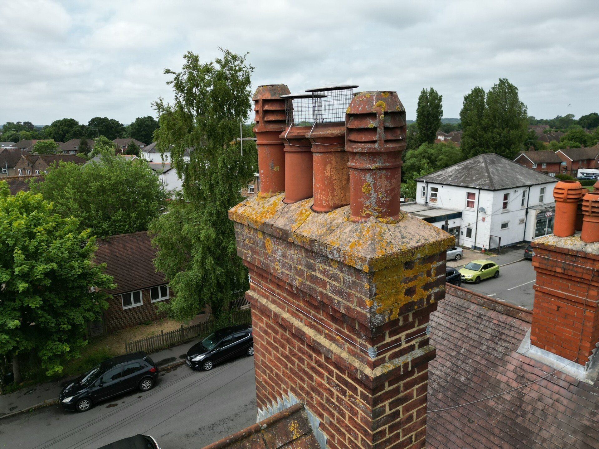
When it comes to surveying a property, some of the most important areas to assess are often the hardest to reach. Roofs, chimneys, upper elevations, and other external features can be difficult to inspect safely without specialist equipment. That’s where drone surveys are changing the game. At Charlesworth Chartered Surveyors, we offer professional drone surveys using high-resolution aerial technology, carried out by a qualified Chartered Surveyor who is also a trained and insured commercial drone pilot, registered with the Civil Aviation Authority (CAA).
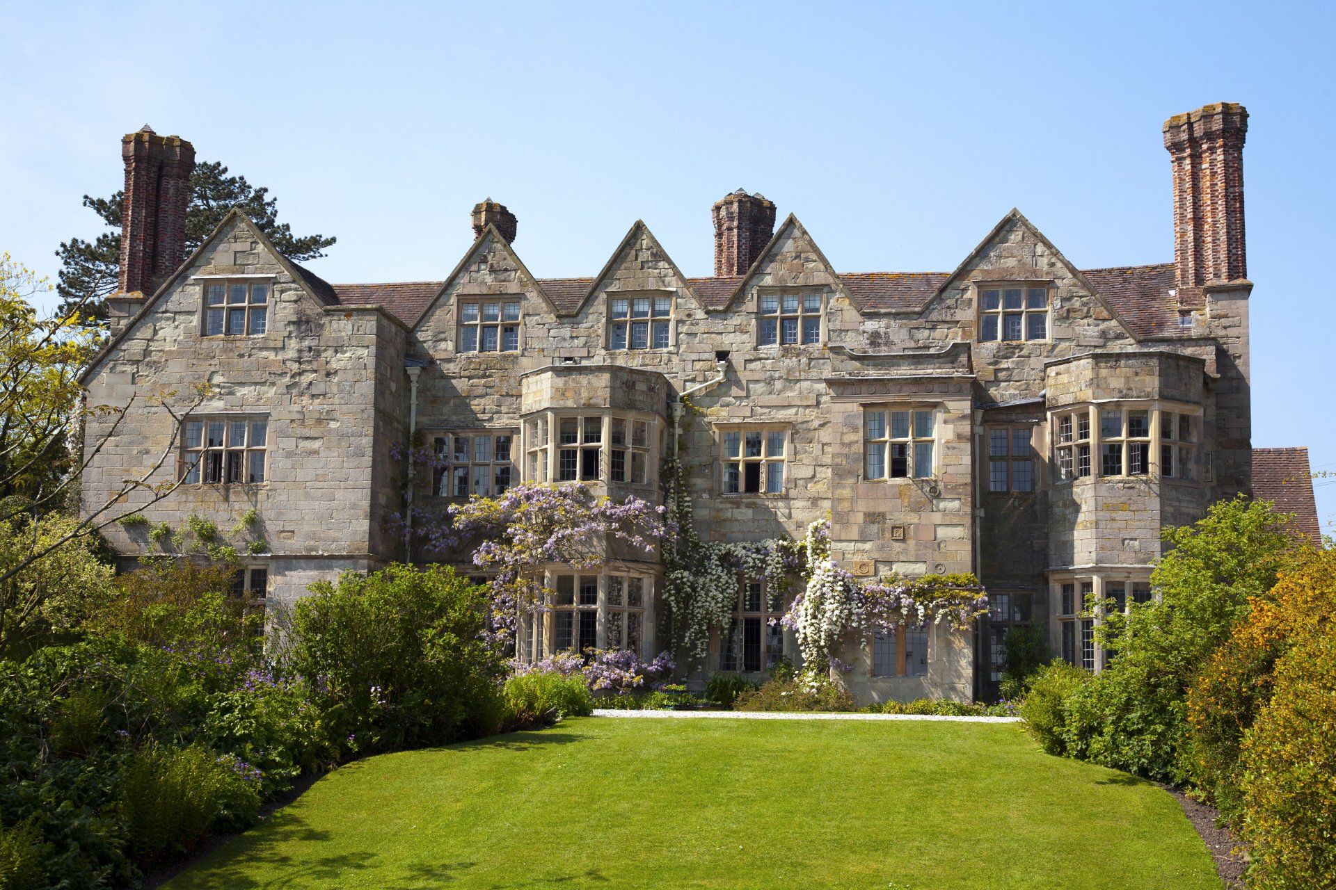
This approach is particularly useful when surveying older properties or those with complex or extended roof structures. It is also highly beneficial when inspecting tall buildings or properties on difficult terrain. Whether you’re purchasing a home, maintaining an existing property, or investigating specific concerns, a drone survey provides a level of visual access that is hard to match.
Our drone surveys are available as an optional add-on to the
RICS Level 2 Home Buyer Survey and are always included as standard within our
RICS Level 3 Building Survey. This added value makes our Level 3 reports among the most thorough in the industry, and it’s part of what sets us apart from many other surveyors. Not all practices offer drone inspections, and even fewer combine the skills of a CAA-licensed drone operator and a fully qualified chartered surveyor in one person.
Request a Quick Quote
Simply fill in the form below and Jon will contact you to discuss your requirement.
Footer Quick Quote
Why Drone Surveys Are the Way Forward
As property expectations increase and buyers become more cautious, traditional surveying methods alone often aren’t enough. Modern homeowners and investors expect full transparency. Drone technology allows us to meet those expectations by making it possible to inspect areas that were previously too dangerous, too costly, or simply impossible to access.
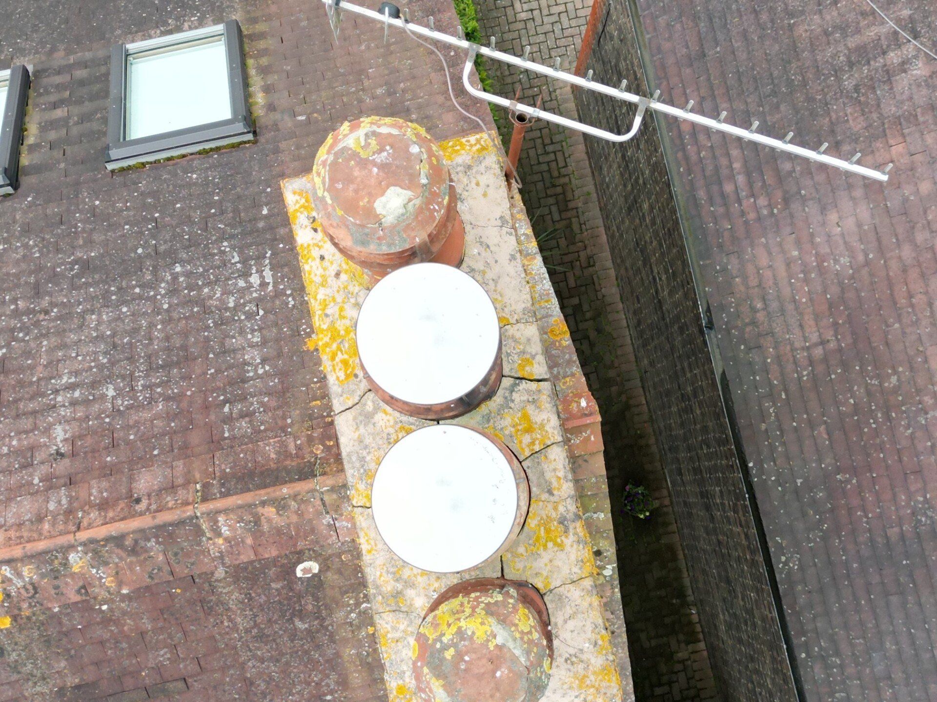
At best, most surveyors will use a camera pole to view hard-to-access areas such as roofs. However, the camera pole only provides limited access and restricted views of those areas.
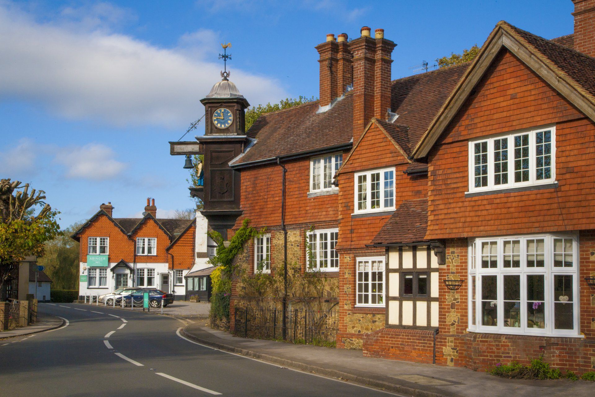
In areas like Dorking and Reigate, where many properties are older and may have complex roofing or chimney features, drone surveys are not just helpful; they’re essential. Drones provide you with full visibility and confidence in the condition of the home.
More importantly, combining drone capability with a deep understanding of residential construction is what makes our surveys so effective. You're not just hiring a drone pilot, you're hiring a surveying professional who can interpret what the footage reveals and guide you on what to do next.
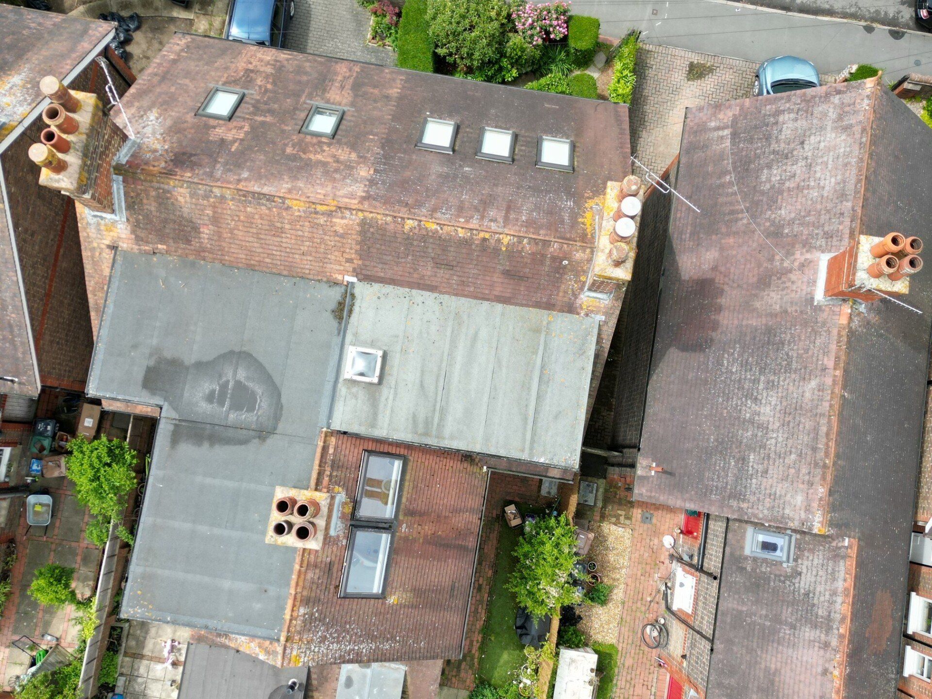
Examples of external roof elements and defects that may be inspected more closely using a drone include:
- Cracked or missing tiles
- Blocked gutters
- Chimney stack details, (mortar, pots, flashings, flaunching)
- Flashing and weatherproof sealing to external roof elements
- Valley gutters
- Attic windows
- Dormer roofs and sides
- Flat roof coverings
- Parapet walls
Please advise when enquiring about the survey whether you would like a drone survey included.
Frequently Asked Questions
What is a drone survey in property inspection?
A drone survey uses a remote-controlled drone equipped with a high-resolution camera to capture aerial images and video footage of a property’s exterior. It allows the surveyor to inspect hard-to-reach areas safely and thoroughly.
Why are drone surveys useful in property surveys?
Drone surveys provide access to parts of a building that are usually difficult to inspect, such as; roofs, chimneys, and upper walls, without the need for scaffolding or ladders. They help identify hidden damage, poor workmanship, or deterioration that could be missed from the ground.
Is drone footage included with every Level 3 Building Survey?
Yes, drone inspections are always included as part of our RICS Level 3 Building Surveys. This ensures a complete overview of the building’s external condition, especially on older or more complex properties.
Can I get a drone survey on its own?
Yes, you can commission a standalone drone survey if you’re not ready to commit to a full property survey. It’s ideal for checking specific concerns, such as roof damage, after storms or leaks.
Are drone surveys safe and legal?
Absolutely. All drone surveys are carried out by a qualified and insured pilot who is registered with the Civil Aviation Authority. We follow all current safety and legal guidelines to ensure the inspection is carried out responsibly.
Will I receive the drone footage after the inspection?
Yes, you will receive imagery showing any identified concerns. These are included in your report and can be used for quotes or insurance purposes.
How high can the drone fly?
We fly within the legal altitude limits set by the CAA, which is typically up to 120 metres. This is more than sufficient for residential property surveys in areas like Dorking and Reigate.
Can a drone survey be carried out in any weather?
Drone surveys are weather dependent. We’ll only fly when conditions are safe and clear enough to capture quality images.
How long does a drone survey take?
Most drone inspections are completed within 30 minutes to an hour, depending on the size and complexity of the property. The footage is reviewed and included in your report shortly after.
Why don’t all surveyors offer drone surveys?
Drone surveys require specific training, equipment, insurance, and CAA approval. Not all surveyors are qualified or licensed to operate drones. At Charlesworth Chartered Surveyors, we’ve invested in this technology to offer clients a safer, more complete inspection option.